Truck Sat Nav vs Google Maps for HGV Drivers: A UK Decision Guide
Compare dedicated truck sat nav and Google Maps for UK HGV work: vehicle profiles, bridge and weight restrictions, traffic context, route checks and buying questions.
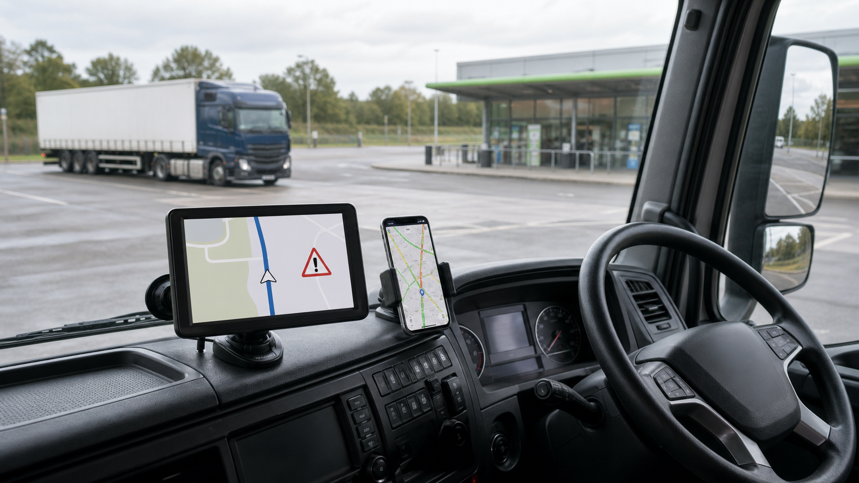
Google Maps is useful in an HGV cab, but it should not be the only route-planning tool for a vehicle whose height, weight, width or length can make an otherwise normal road unsuitable. A dedicated truck sat nav can add vehicle-profile routing and restriction warnings, provided the map data, profile fields and update terms are explicit. Neither screen overrides signs, an operator’s route plan or the driver’s responsibility.
The practical answer is therefore not “one or the other”. Use a verified HGV route as the primary plan, a suitable vehicle-aware device as a warning and navigation aid, and a phone map for traffic, address and destination context. If a seller cannot confirm the truck-specific functions you need, a larger screen alone does not make the device an HGV sat nav.
What each tool is good at
| Job | Dedicated truck sat nav | Google Maps on a phone |
|---|---|---|
| Route using entered vehicle dimensions | Possible on a genuine truck-routing model; verify supported fields | Do not assume HGV-specific routing |
| Low bridge, weight or width warnings | Possible where the device and current map data support them | Useful map context, not a complete restriction system |
| Live congestion and closure context | Varies by model and connection | Often useful for general traffic context |
| Finding a business or checking its surroundings | Usually adequate | Strong address, satellite and street-level context |
| Stable in-cab display | Dedicated screen and power supply | Depends on mount, power, calls, heat and notifications |
| Proof that a route is suitable | No | No |
The distinction matters. A device can display a European map and still lack current low-bridge data, useful vehicle-profile fields or an update entitlement. Equally, a phone can show excellent traffic data without knowing that the combination is too high for an arch bridge.
Start with the vehicle, not the app
Before entering a destination, establish the travelling dimensions and limits of the actual vehicle and load. The DVSA roadworthiness guide says drivers should know the overall vehicle dimensions, including trailer and load, and notes that vehicles over 3 metres high must display an in-cab overall height indicator. Height may need checking again after loading or a trailer change.
Record at least:
- overall travelling height, measured where required;
- gross and axle weights relevant to the journey;
- width and length, including load or equipment;
- trailer and coupling changes;
- any operator, permit or delivery-site restrictions.
Then enter only values the device actually supports. Do not reduce a measurement to make a proposed route appear available. Our HGV sat nav settings guide explains the profile fields to confirm before departure.
Why Google Maps alone is not enough
Google Maps can help a driver find an address, inspect the destination area and understand general traffic. Those are valuable jobs. The problem is treating a car-oriented route suggestion as confirmation that an HGV can legally and physically use every road on it.
Official UK guidance puts route planning before the journey. HSE advises employers to choose a route that is safe for the type of vehicle and to avoid restrictions such as overhead bridges. Network Rail’s bridge-strike guidance stresses knowing the vehicle height and planning accordingly. Low-bridge signs remain decisive: a mandatory height roundel cannot be negotiated away by an app.
Use Google Maps for:
- a final address and postcode cross-check;
- satellite or street-level context around a delivery entrance;
- general congestion, closures and service information;
- sharing a location when stationary;
- a second view when investigating a disagreement.
Do not use it as evidence that an HGV route is clear of bridge, weight, width or access restrictions.
What a dedicated truck sat nav must prove
A serious comparison begins with five questions.
1. Which vehicle fields can you enter?
Ask for the exact profile screen or manual. Height alone is not enough for every job. Confirm whether the unit accepts weight, width, length, axle or trailer information, and whether those values affect routing rather than merely being stored.
2. What restriction data is included?
Ask whether the supplied UK map contains low bridges, weight limits, width limits and commercial-vehicle restrictions. “European maps” does not answer that question. Also ask what happens when a restriction is temporary or recently changed.
3. How are maps updated?
Confirm the current map version, licence, update method, update period and cost. A route tool used for work needs a maintainable data path. If updates are not stated, price the device as a static aid, not as a lifetime routing service.
4. Can you preview and change the route safely?
The route should be reviewable before movement. Useful controls include an overview, alternative routes, waypoints and a clear list of warnings. Replanning should never require the driver to operate a screen while driving.
5. What support exists when the route is wrong?
Ask how mapping errors are reported, what information support needs and whether a corrected map becomes available. Keep an independent record of a dangerous or unsuitable suggestion rather than simply trying the same route again.
The HGV route planner guide turns these questions into a pre-journey workflow. For bridge and weight checks specifically, use the height and weight restrictions guide.
A safer two-screen workflow
The point of two tools is independent context, not two voices competing while the vehicle is moving.
- Measure or confirm the vehicle and load data.
- Review the operator’s route, delivery instructions and known restrictions.
- Build the route in the truck-aware system using the correct profile.
- Inspect the complete route, especially the final miles and any warning points.
- Use a phone map while parked to examine destination access, traffic and landmarks.
- Resolve disagreements before departure. Contact the operator, site or relevant road authority where necessary.
- Mount and power the chosen primary screen without blocking the driver’s view.
- During the journey, follow signs and safe instructions. Stop safely before changing or investigating a route.
If a route presents an unexpected low bridge or restriction, do not “try it for size”. Stop where safe, reassess and follow the signed or operator-approved alternative.
Is the current TruckNav unit the right fit?
The current TruckNav product page describes a 7-inch, 800 x 480 GPS unit with 8 GB storage, Windows CE 6.0, Bluetooth, AV-IN and a European map edition. The larger standalone screen and included vehicle mount can be useful for drivers who want a dedicated display.
There are important unknowns. The page does not state the map software, current map version, licence or update entitlement. It mentions profiles using entered vehicle dimensions, but a buyer should confirm the exact fields and restriction data before treating it as an HGV routing tool.
Buy it only after support confirms in writing:
- the current UK map and truck-routing software;
- the profile fields available on this exact unit;
- low-bridge, weight and width restriction coverage;
- map-update method, entitlement and cost;
- whether routing remains usable after any update period;
- the return route if those functions are absent on receipt.
The product is a weaker fit when verified restriction data and maintained map updates are essential but cannot be confirmed. Our broader truck sat nav buying guide provides a shortlist framework that applies to this and other units.
Acceptance test before relying on a new device
Do not begin with a live delivery. While parked, use a familiar route with known restrictions.
- Confirm every vehicle-profile value and unit.
- Check the displayed map and software version.
- Build a route containing a known low bridge or weight restriction.
- Confirm that the warning is clear and that an alternative can be reviewed.
- Compare the result with current signs, operator information and an independent source.
- Test screen readability and the mount without obstructing the view.
- Save the support and returns information.
A passed test shows that the device behaved plausibly on that case. It does not certify every future route.
Frequently asked questions
Can Google Maps be set for an HGV in the UK?
Do not assume a standard Google Maps route accounts for the HGV’s height, weight, width or length. Use it for general map and traffic context, then verify the commercial-vehicle route separately.
Is a truck sat nav always safer than a phone?
No. It is useful only if the vehicle profile is correct, the restriction data is suitable and the route is reviewed. Old or unspecified maps can create false confidence.
What if the sat nav and a road sign disagree?
Follow the legal road sign and stop safely if the route needs reassessment. A device is an aid, not authority to pass a restriction.
Do I still need an atlas or operator route plan?
Use the sources appropriate to the work. A second route source and operator knowledge can expose errors that one screen misses. High or unusual loads may require checks with the relevant authority.
Is a 7-inch screen enough for HGV work?
Screen size affects readability, not routing quality. Software, restriction data, profile fields, updates and safe mounting matter more.
Bottom line
Google Maps and a dedicated truck sat nav solve different parts of the journey. Phone maps are strong for address, traffic and destination context. A genuine truck-routing unit can add vehicle-aware planning and restriction warnings. The safe system is measured vehicle data, a reviewed route, maintained information, road signs and a driver prepared to stop when the evidence conflicts.