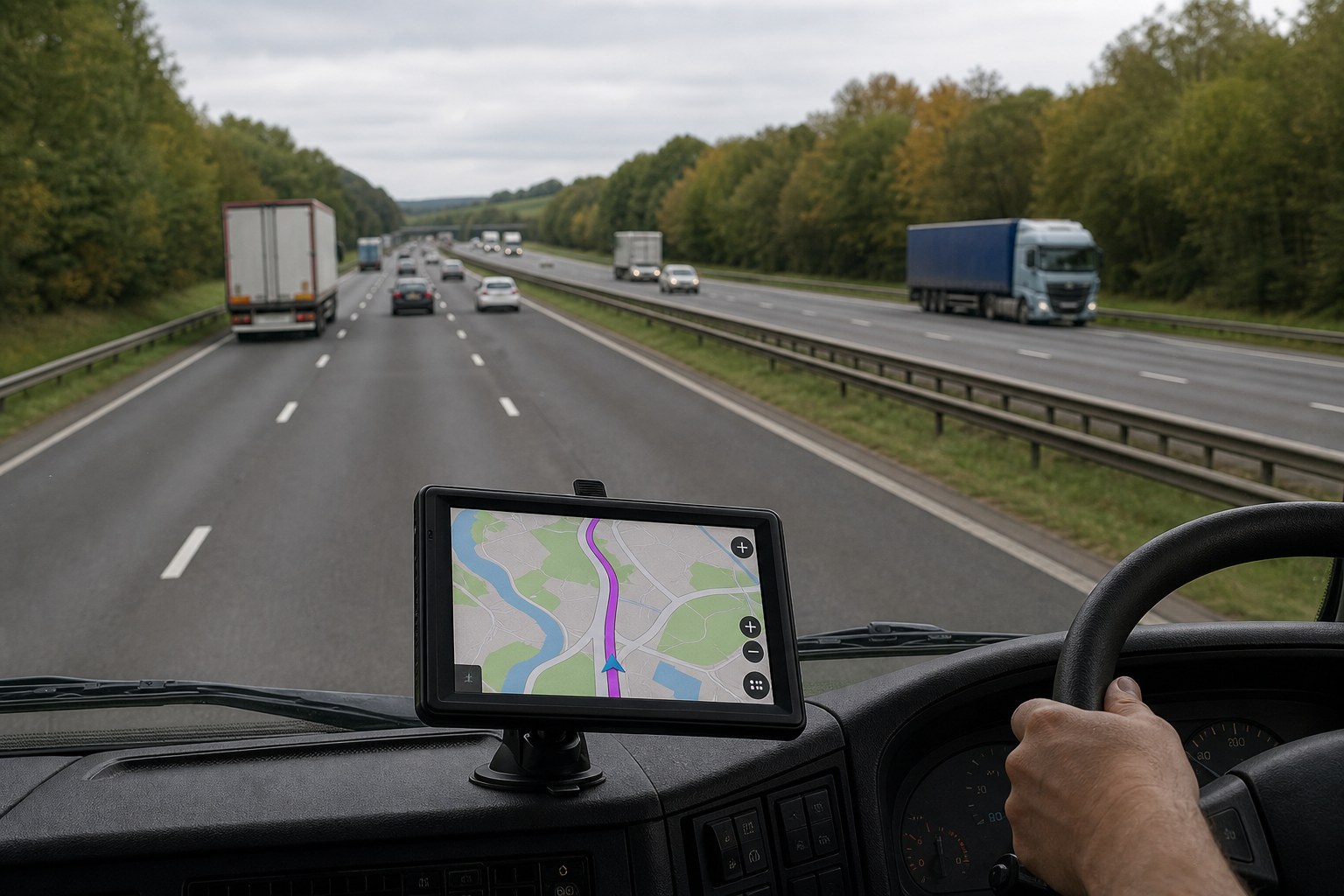
HGV Route Planner: UK Guide
Short answer: This guide is for HGV operators reviewing vehicle-profile route-planning functions. Start with vehicle, mounting, power and map requirements, then compare them with the product page. Do not assume a routing guarantee from the name of a profile or article.
What this guide covers
- The route topic and URL are matched to HGV Route Planner: UK Guide.
- Product references stay within the stated 7-inch, Bluetooth, AV-IN and European map-region facts.
Use the checks below in order. If a required profile, mounting detail, connection or map term is not stated, confirm it before ordering rather than inferring it from the article title.
A direct answer for this route
The product page describes dimension-based vehicle profiles, but it does not guarantee complete restriction data or an automatically suitable HGV route. The product itself is a portable 7-inch navigator with Bluetooth, 2.5 mm AV-IN and the European map version.
Build an HGV route check around vehicle data
Start with the actual height, width, length and operating weight of the vehicle and load. Confirm which of those fields the installed software accepts and keep the values updated when the vehicle configuration changes.
Vehicle fit covers the required profile and dimensions. Installation covers mounting and power. Map terms cover the selected region and any essential software or licence detail. Use the proposed route as one input to journey planning. Check it against road signs, temporary restrictions, operator instructions and any additional planning sources required for the journey.
Current product facts to check
The product page describes the following hardware and selected map region:
- Portable 7-inch GPS navigator; 800 × 480 capacitive display; 8 GB storage; Bluetooth; 2.5 mm AV-IN; 3.5 mm earphone connection; European map version.
| Product page | 7-inch GPS Navigator with Bluetooth, AV-IN and European Maps |
|---|---|
| Current detail price | £176.76 when this guide was checked; recheck before ordering |
| Guide focus | HGV Route Planner: UK Guide |
| Map selection | European map version; software, version, licence and update entitlement are not stated |
A repeatable decision process
- Define the vehicle. Record the vehicle and load dimensions in the units requested by the device.
- Check installation. Confirm the installed software accepts every constraint needed for the intended vehicle.
- Check the map terms. Check the map region, software, version and licence requirements before ordering.
- Confirm unresolved details. Review each proposed route before departure and continue to follow road signs during the journey.
- Review the route. Cross-check every proposed route against signs, restrictions and the vehicle’s actual dimensions.
This process keeps the comparison tied to the actual vehicle and journey instead of a generic feature count.
Questions that expose a poor fit early
- Does the available vehicle profile accept every dimension and weight field required for this use?
- Is the supplied mount suitable for the intended vehicle and position?
- Are the power connection and electrical ratings confirmed before ordering?
- Is the European map region sufficient, and are any essential software or licence details stated?
- Can every proposed route be checked independently against signs and restrictions?
Routing and suitability boundary
The product page describes dimension-based vehicle profiles, but it does not guarantee complete restriction data or an automatically suitable HGV route.
Build a small topic path
Continue with the guide that matches the next vehicle or planning question; each route has a distinct topic.
- Motorcycle Sat Nav: UK Buyer's Guide
- Best Truck Sat Nav: UK Buyer's Guide
- Motorhome Sat Nav: UK Buyer's Guide
Frequently asked questions
What information should be entered for HGV planning?
Use the actual dimensions and weight requested by the available vehicle profile. Confirm the exact supported fields before ordering.
Does the device replace professional journey planning?
No. Use it as routing guidance and check the proposed route against signs, restrictions, operator instructions and any other planning sources required for the journey.
Is the route database guaranteed to include every restriction?
No such guarantee is stated. Temporary restrictions and database gaps are possible, so the driver remains responsible for checking the route.
Which map region is selected for this product?
The product is the European map version, with UK coverage listed. Europe is the map region and does not describe a power plug.