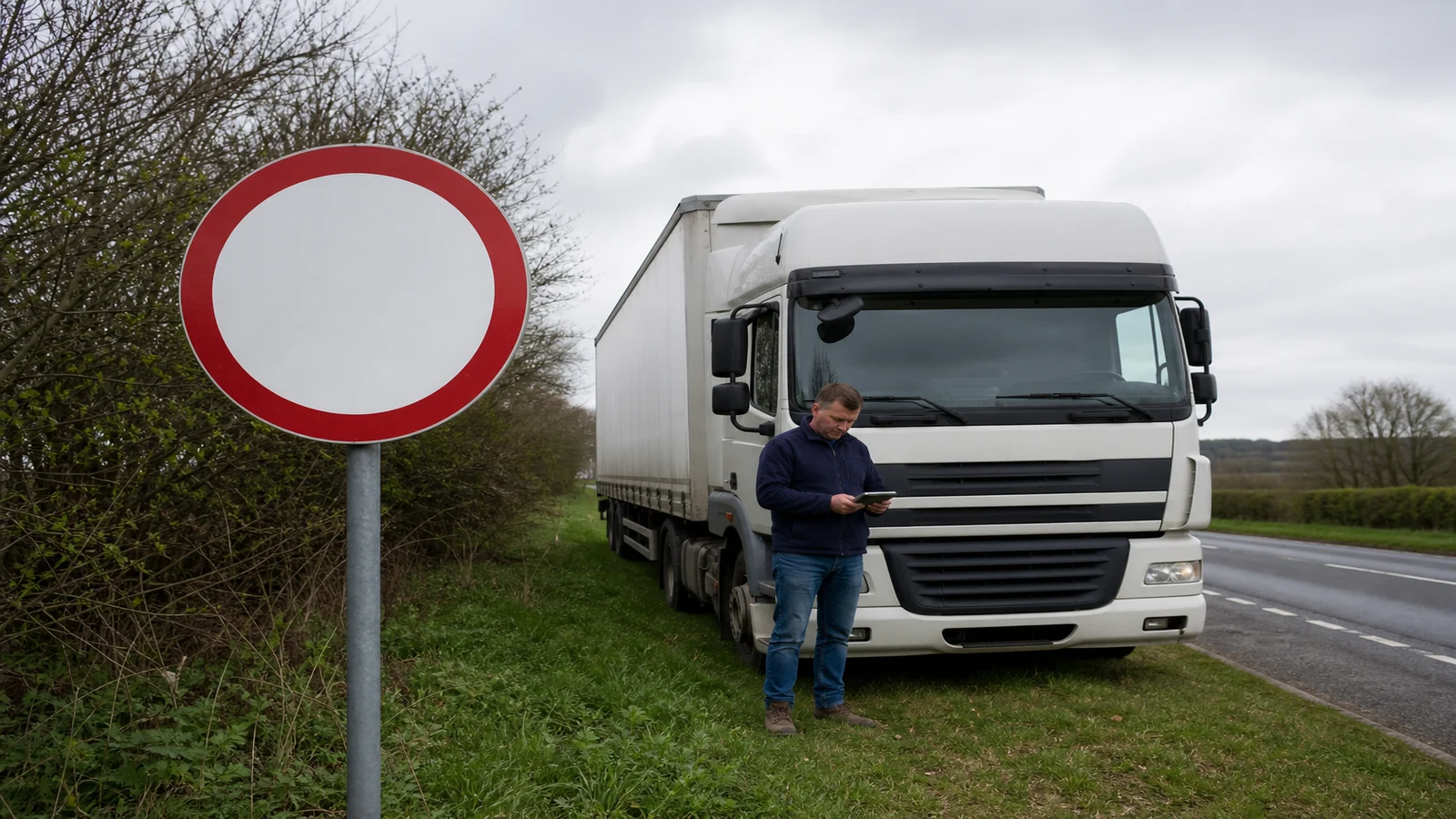
HGV Road Restriction Signs Route Planning UK
Road signs and the conditions you can see on the road override a planned digital route. If a signed height, width, weight or access limit disagrees with the sat nav, do not continue on that road hoping the map is newer. Park somewhere legal, then re-plan. Digital restriction files are a planning aid; they are not complete and they are not legally authoritative.
Which restriction signs matter most when planning an HGV route?
The signs that matter most are the ones that limit the vehicle you are driving today: height, width, weight and access. DfT's Know your traffic signs guidance is the public illustrated reference for those signs, including regulatory signs and low-bridge signs. This page does not reproduce sign faces or numbers; read the official booklet or HTML chapters for the pictures.
As a planning category list, keep four groups in the duty sheet:
- Height limits, including circular prohibitory signs and triangular warnings at bridges.
- Width limits on narrow roads, arches and temporary works.
- Weight limits, including weak structures and local environmental limits.
- Access limits, including roads where goods vehicles are prohibited except for access.
The Department for Transport prevention of bridge strikes good practice guide tells professional drivers to know vehicle height and width, know the route and obey traffic signs. It also distinguishes red circles, which prohibit, from red triangles, which warn. If the vehicle is higher than the dimension on a circular sign, the guide's instruction is to stop and not pass. That is a sign-reading rule, not a sat nav setting.
What should I do when a road sign conflicts with the sat nav?
Use this diagnostic ladder. Move one step at a time. Do not skip to “the screen is probably right”.
- If the sign is in view and the vehicle would exceed a prohibitory limit, then stop. Do not pass the sign. The next step is to find a legal place to hold, not to nose forward for a better look at the map.
- If the sign is a warning rather than a prohibition, then slow, compare it with the measured vehicle, and still treat an unsuitable structure as a reason not to continue. The next step is the same hold-and-check, not a closer approach “to see if it looks high enough”.
- If the sat nav still shows that road as the route, then ignore the magenta line for this decision. The next step is to park and tell the operator what the sign says and what the vehicle measures.
- If you cannot turn or reverse without using the restricted road, then stay put with hazard awareness and wait for instruction. The next step is operator or local help, not a multi-point turn across the limit.
- If a new route is agreed, then enter it only while parked and still watch for the next signed limit. The next step is to treat the rest of the journey as unverified until you have passed each sign.
Arch bridges deserve extra care even when a height figure is signed. The good-practice guide notes that available height can fall toward the kerb, and that wide loads need more room than the centre figure implies. Do not assume the sat nav knows the shape of the arch.
How can I prepare for restrictions before departure?
Prepare with the vehicle, not with a default profile left in the device from last week.
- Record the measured running height of the combination, including the load and roof equipment, and display the correct figure in the cab where the operator requires it.
- Do not rely on a headboard figure after a trailer or coupler change.
- Enter that measured figure in the navigation profile, then still plan as if a new sign could appear.
- Ask the operator for known weak bridges, banned towns and sites that need a specific approach.
- Carry a way to convert units if your cab notes and a sign use different units, using the operator's chart rather than a mental guess.
A route that looked clean on a kitchen table still has to survive the first signed limit on the road. Build time for a hold-and-replan, because a correct refusal to pass a sign will wreck a tight booking faster than a short extra loop would have.
What are the limits of digital restriction data?
Digital files miss temporary works, new bars, local access rules and errors in the vehicle profile. They also cannot see a parked car that has turned a tight signed road into an impossible swing. No route database is complete, and none of them outrank a sign that is in force on the road.
Use the device to reduce surprise, not to argue with a circle or a triangle. If the unit offered a road that is signed against the vehicle, log it for the operator so the next duty does not repeat the same approach. That log is fleet learning; it is not proof that the sign was wrong.
When should I stop and seek local or operator guidance?
Stop and seek guidance when you cannot pass a prohibitory sign, when you cannot turn without using the restricted road, when the device and the sign keep disagreeing after a parked re-plan, or when a temporary barrier has no map equivalent. Local knowledge from the operator, the site or the highway authority beats a second guess on the screen.
Do not walk into a live carriageway to “just check” a bridge figure if that would put you at risk. Use a legal waiting place, then talk to the people who can authorise a different route or a delayed booking.
Who this article is not for
This article is not for car drivers reading speed-limit chapters, and it is not a sign chart to keep in the windscreen instead of the official materials. It is also not a claim that any navigation database is complete or legally authoritative.
Stop conditions
Stop if the vehicle would exceed a signed prohibitory limit. Stop if the only remaining move uses the restricted road. Stop if you would have to hold the sat nav to argue with the sign while moving. Seek operator or local guidance from a legal waiting place.
If a portable truck unit is still useful as a planning aid after the sign rule is clear, you can review the 7-inch automotive navigation system. Keep the vehicle profile honest, then still obey the road. The last-mile version of the same decision is the lorry delivery site access checklist.