Why UK Postcodes Don’t Pin the Right Industrial Gate
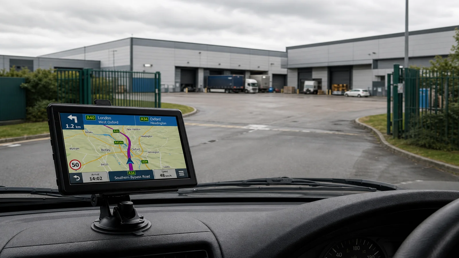
A UK postcode often covers a whole industrial estate — several roads, multiple units, and more than one barrier — so a sat nav that routes to the postcode centroid can leave you at the wrong gate even when the device has done nothing “broken”. Search by full address or a named POI when you have them, use vehicle mode and entered dimensions for the approach roads, and finish with site signs and human directions. No honest portable GPS promises door- or gate-level precision from the outward code alone.
What a postcode actually represents
Postcodes are sorting and delivery tools. On a trading estate they may group dozens of premises that share an approach road but use different security gates, one-way service roads, or height-limited tunnels under a building. The blue pin on a 7-inch map is a best-effort location for that code or for the address string you typed — not a survey stake at shutter three.
Drivers meet the failure mode on Friday afternoons: the TruckNav-style portable unit (or any navigator) announces you have arrived while you face a locked car-park arm for light vehicles, or the goods-in barrier on the far side of the plot. The fix is better destination data and slower final approach, not shouting at the capacitive screen.
Use postcode, address and POI in the right order
On a unit that supports postcode, address and POI search — as this 7-inch European-maps navigator does with UK coverage — work from specific to general:
- Full postal address including unit number and road name when the booking confirms it.
- POI or site name if the customer is listed that way and drivers confirm it matches goods-in.
- Postcode only as a coarse aim point when the paperwork is thin — then phone the site for the gate letter before you commit to a tight street.
Lane guidance and voice prompts help on the dual carriageway; they will not invent a missing “Gate B via second roundabout” note. Save that text in your job app or write it on the consignment where you can see it at a glance.
Why the pin sits on the wrong side of the estate
Common causes, none of which require blaming “bad maps” alone:
- The postcode’s reference point sits near reception while artic access is at the rear.
- Two businesses share a code and the geocode favours the older or larger footprint.
- A new barrier was added after the map data you are running was compiled — and lifetime map updates are stated, but a pin can still lag a new barrier — never assume the gate moved last week.
- You searched the customer’s billing postcode rather than the warehouse postcode on the delivery note.
2D and 3D views change how clearly you see building outlines; they do not upgrade a postcode into a surveyed gate coordinate.
Dimension mode still matters on the approach
Wrong-gate pain often pairs with wrong-road pain. Select the correct mode among the seven vehicle options (truck, bus, van-scale profiles, car, pedestrian when you walk in) and enter height, width and weight before you thread an estate built for mixed traffic. A car-mode route that slips under a signed height restrictor to “save three minutes” is still a strike against the roof — follow the plate on the steel, not the purple line.
Speed-camera alerts on the A-road in are unrelated to yard speed limits; once inside, watch painted 5 mph signs and banksmen. Bluetooth and FM keep calls and radio tidy so you can take a gate instruction without cradling a phone against the wheel.
Practical last-mile habits that beat the pin
- Read the delivery note for “use Gate”, “rear access”, or “no cars through goods-in”.
- Stop in a safe pull-in and check the estate map board before reversing toward the first barrier you see.
- If you carry the included 12V rear camera on AV-IN (2.5 mm), use it only after you know which gate is yours — a clear reverse picture at the wrong dock wastes everyone’s time.
- Switch to pedestrian mode only when the vehicle is legally parked and you are walking to find reception; do not navigate a truck in pedestrian mode.
What sat nav can and cannot claim
A portable WinCE 6.0 navigator on an MSTAR 2531 with 8 GB plus a 32 GB TF card, 1200 mAh battery, suction mount and back clip is a strong cabin tool for coarse-to-medium navigation across the UK and wider European map coverage. It is not a promise of gate-level accuracy, live traffic, automatic reverse cut-in, night-vision imaging, or lifetime map updates. Those boundaries matter on industrial estates where the last two hundred metres decide whether you block the only exit.
Boundaries worth stating clearly
Do not treat arrival announcements as permission to stop in a live carriageway. Do not assume the pin equals the correct barrier. Do not ignore height, weight or access signs because the route looked fine in car mode. Always follow road signs, site rules and current conditions over the display.
FAQ
Should I avoid postcode search entirely?
No. Use it when it is all you have, then refine with address, POI or a phone call. Postcode is a start, not a dock number.
Why did two drivers get different gates for the same code?
Different address lines, cached destinations, or simply which end of a large code polygon the device favoured. Compare unit numbers, not only the outward code.
Will a bigger 7-inch screen fix wrong-gate routing?
A clearer 800×480 display helps you read road names and lane guidance; it does not shrink a multi-unit postcode to one shutter.
For a 7-inch portable sat nav with postcode, address and POI search plus dimension-aware vehicle modes, see the 7-inch automotive navigation system on trucknav.co.uk.